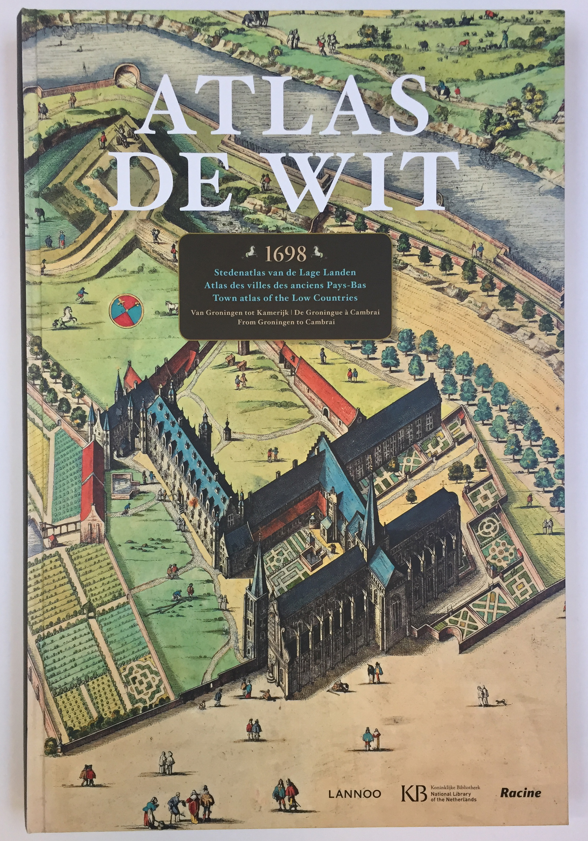
ATLAS DE WIT 1698. Stedenatlas van de Lage Landen. Atlas des villes des anciens Pays-Bas. Town atlas of the Low Countries. Tekst M. v. Delft & P. v.d. Krogt. (Facs. ed. 1698). (Tielt, Lannoo, 2012). 319, (1) pp. Prof. ill. Lge-fol. Obrds. -- J. BLAEU. Atlas Maior van 1665, 'De grootste en schoonste atlas, die ooit verschenen is. (2005). Lge-fol. Obrds. w. dust-j. In or. shipping box. -- P. v.d. KROGT. Globi Neerlandici. The production of globes in the Low Countries. (1993). Prof. ill. 4°. Ocl. w. dust-j. -- K. ZANDVLIET. De groote waereld in 't kleen geschildert. Nederlandse kartografie tussen de middeleeuwen en de industriële revolutie. 1985. 4°. Ocl. w. dust-j. -- And 5 o. smaller works on exploration/cartography. (9).
€ 80
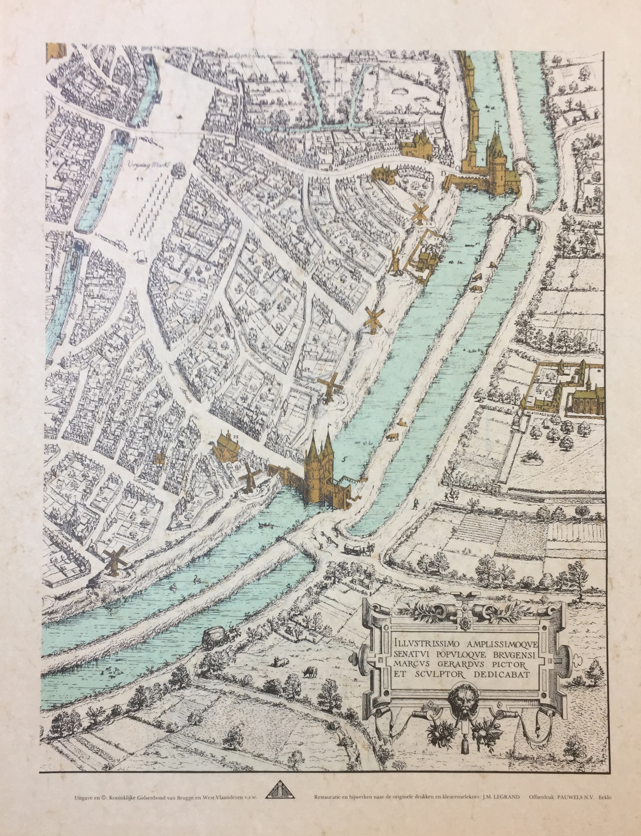
GERARDS, M. Stadsplan van Brugge 1562. (Brugg, Kon. Gidsenbond), n.d. (1980's?). Cold. facs. map of Bruges, originally on 10 conjoined sheets, each sheet 600 x 450 mm. In or. portfol.
€ 50
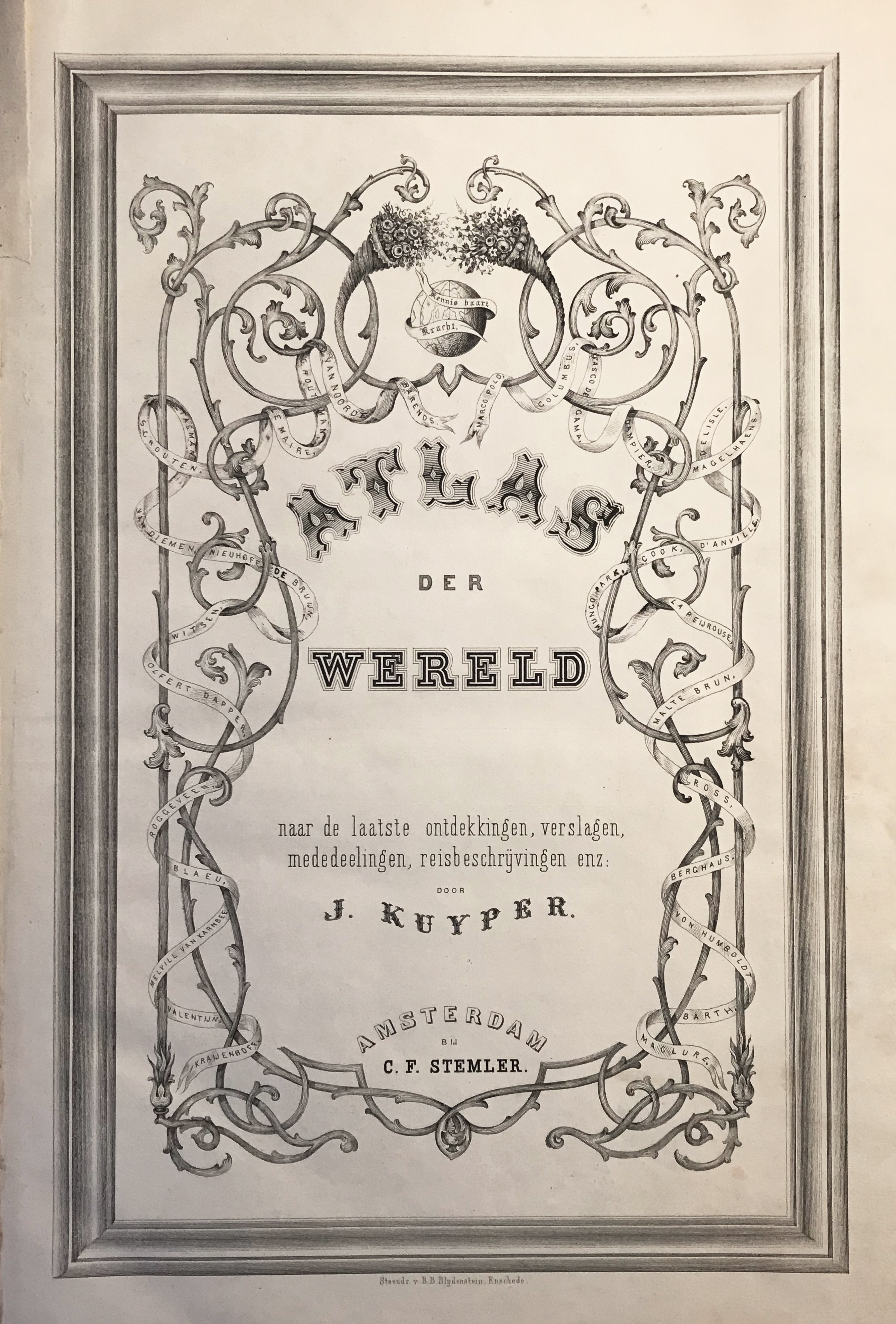
KUYPER, J. Atlas der wereld. Amst., C.F. Stemler, n.d. (=1859). W. lithogr. ti., printed index leaf, 29 double-p. lithogr. maps (1 also fold.), cold. in outlines, and extra lge. fold. cold. lithogr. of 'Flaggen & National-Farben aller Laender & Völker' bound up at end. Fol. Or. blind stamped blue cardboard clothbacked brds., w. marbled endpapers. (Back dam., some unobtrusive faint stains in places, some age-toning and traces of use throughout (small splits on folds), but a very good copy).
€ 300