Lot 1023
1023
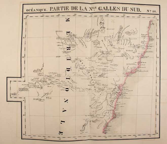
VANDERMAELEN, Ph. Atlas Universel de Géographie Physique, Politique, Statistique et Minéralogique. 6me partie: Océanique. Brux., 1827. (2) lvs., general lithogr. double-p. map and 60 lithogr. double-p. maps by H. Ode, all cold. in outlines. Lge-fol. Cont. hcf. backed marbled brds. (Spine renewed, outer corners a bit dam., first 2 lvs. a bit stained at borders, maps 59 & 60 w. small wormhole in blank margin, but maps surprisingly clean and in very good condition).
Size of the maps c. 485 x 570 mm. The atlas was published in instalments during the years 1825-1827. Containing maps of the Philippines, East Indies, Australia, New Zealand, etc. - Koeman Vdm 1: "(…) this atlas was far ahead of its time because the status of the mapping of the world was not detailed enough to justify an international map of the world on the scale 1:1,6 million. (…) the compilation and printing (…) [was] an unparallelled achievement."€ 1500
result € 2000
Back