Kavel 1042
1042
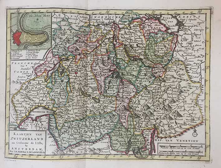
(ELWE, J.B.). Volkomen Reis-Atlas van geheel Duitschland Vervat in zeer juiste Kaarten, Op nieuw vervaardigd, naar de laatste verbeteringen van Bachine, en verrijkt met eene ongemeen gemaklyke Steedewijzer, Benevens Eene zo beknopte als volledige Geographische beschrijving van het gantsche Duitsche Rijk. Amst., I.B. Elwe, 1791. 272 pp. W. engr. double-p. ti., 37 fold. maps, 2 fold. distance-tables, all cold. by hand. and 2 plain letterpress tables. Cont. hcf., gilt-dec. spine with gilt-lettered label. (Title-p. w. small splits on folds, colouring of title-p. slightly run out as a result of some staining, but else in very good condition).
Nice and rare 18th-century Dutch pocket-atlas complete with 37 maps of Germany in fine contemporary hand-colouring. The first map is a general map of Germany after which all the separate kingdoms, counties, duchies, etc. follow. - Koeman, El 1.€ 600
uitslag € 600
Terug