Lot 903
903
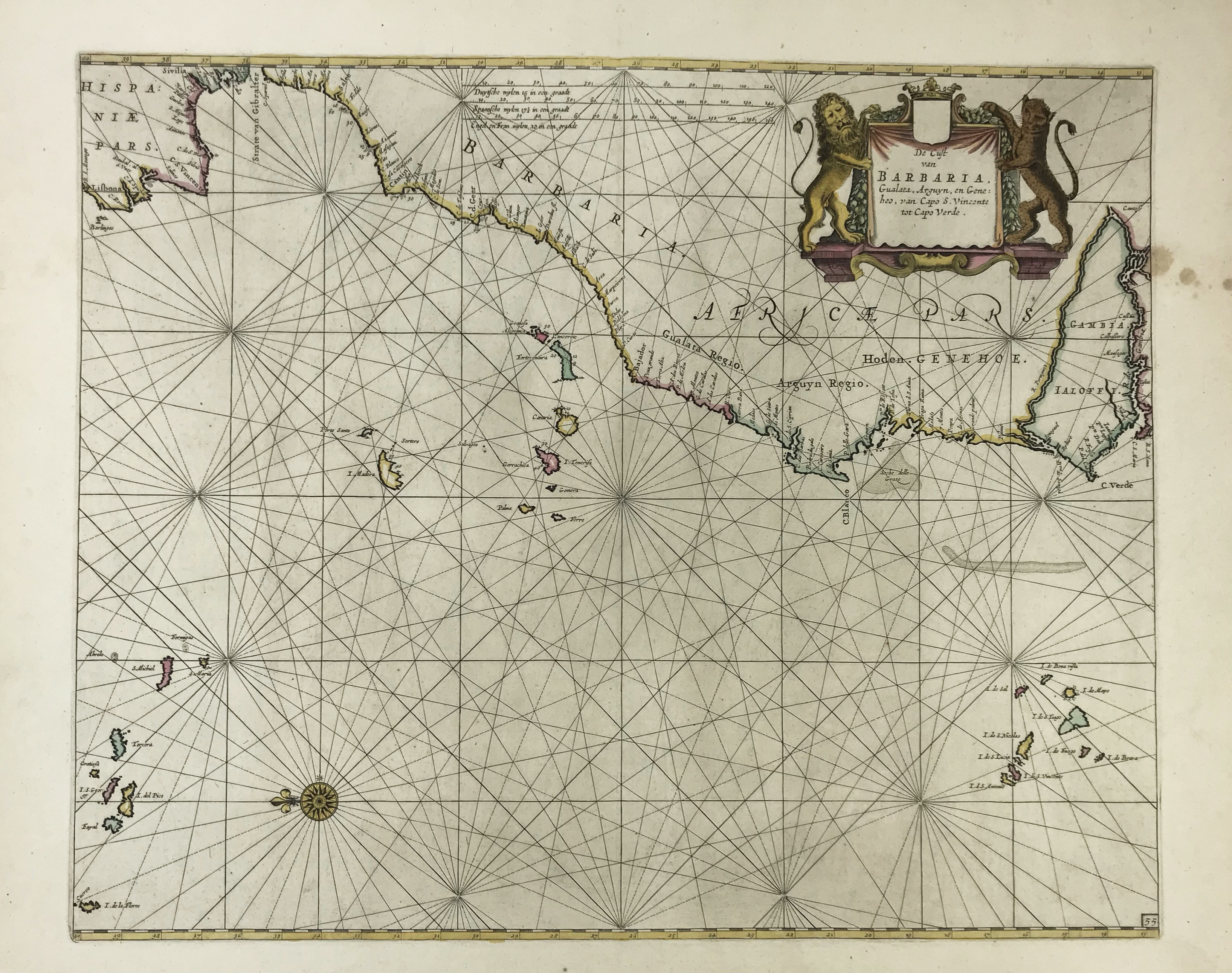
SEA CHARTS -- "DE CUST VAN BARBARIA, Gualata, Arguyn en Geneheo van Capo S. Vincent tot Capo Verde." N.pl., no publ., n.d. Handcold. engr. chart w. cartouche and compass card. 425 x 530 mm. Later edition (annotated '55' in lower right corner) without address, similar to Doncker's chart (cf. Koeman IV, Don 2 (10)). Showing part of the Iberian peninsula, the Canary Islands, Madeira, the Azores and Capo Verde. -- Added: "INSULÆ CANARIÆ, Alias Fortunatæ dictæ". (Amst., Blaeu, 1662). Plain engr. chart of the Canary Islands, Madeira and Porto Santo Island w. compass card, scale indicator, ships and inscribed cartouche. 390 x 504 mm. In very good condition w. ample margins, Latin text on v°. -- (2).
€ 80
Back