Lot 906
906
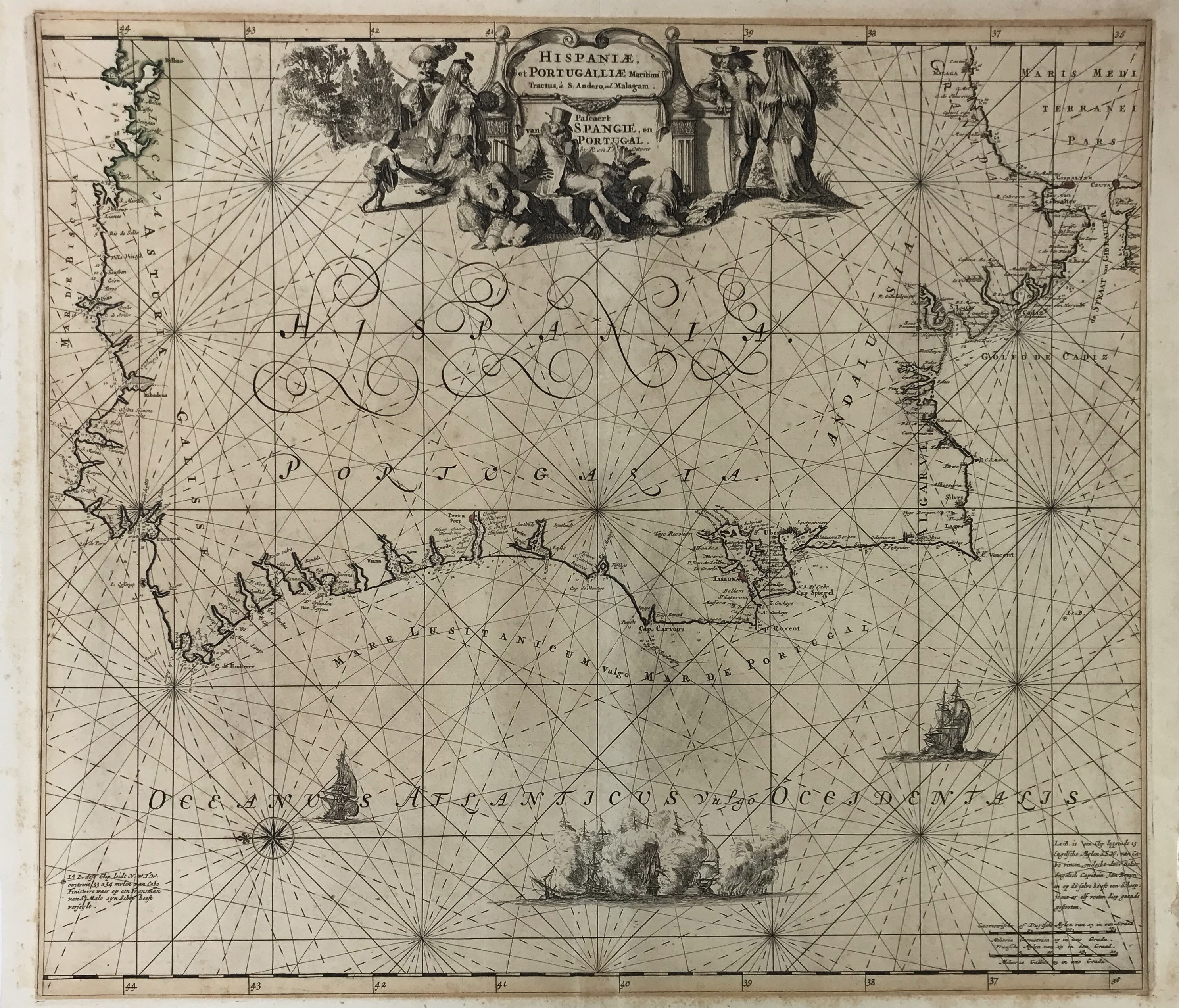
SEA CHARTS -- "HISPANIÆ, et Portugalliæ Maritimi tractus, à S. Andreo, ad Malagam/Pascaert van Spangie, en Portugal". (Amst.), R. & J. Ottens, n.d. (c. 1720). Engr. chart of the coast of the Iberian Peninsula, partly cold. by hand. W. large cartouche in the upper centre. 490 x 560 mm. (A bit browned, traces of former framing along margins and on v°).
€ 150
Back