Kavel 1019
1019
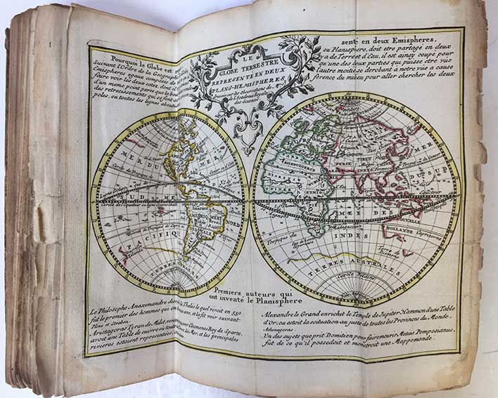
BAALDE -- NOUVEL ATLAS geographique et historique / Nieuwe geographische en historische atlas, tot de gemakkelyke oefeninge der Geographie, (...). Zamengest. d. (P.) Rousset, (...). Amst., S.J. Baalde, 1770. (202) pp. W. engr. ti., 33 maps cold. in outlines, 2 cold. distance tables, 5 plain plates dep. terrestrial & celestial globes, etc. and 1 plate dep. flags, all folded in three. Slim 8°. Cont. hcf. w. raised bands. (Sides rubbed, corners bumped/worn, margins of maps rather frayed/w. num. (small) tears, small piece of 1 map missing (2x1cm), a bit browned in places, a rather used copy, but with all the maps/plates).
The same maps as in Koeman II, Le H 1, but augmented with two extra maps: one of Brabant & one of Flanders. - Koeman I, Baa 1 A; see also Koeman II, Le H 1, note: "After 1770, this atlas by De Leth was carried on by S.J. Baalde, Amsterdam, who used the same maps as De Leth, with 2 maps added." - Sold w.a.f., not subject to return.€ 600
uitslag € 500
Terug