Kavel 907
907
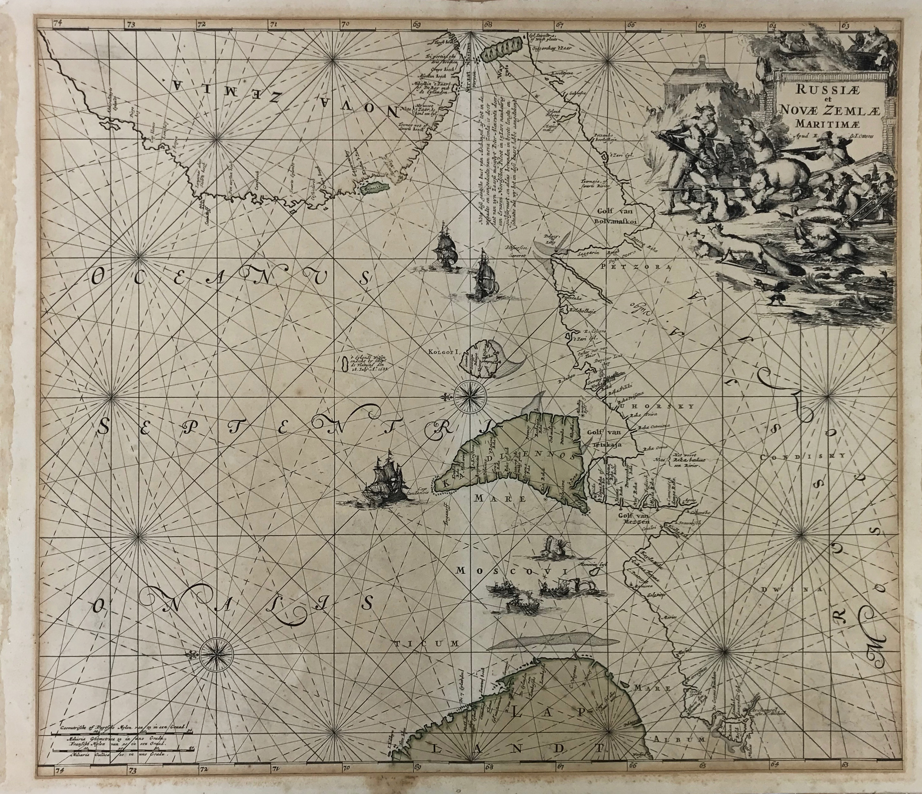
SEA CHARTS -- "RUSSIÆ et NOVÆ ZEMLÆ MARITIMÆ". (Amst.), R. & J. Ottens, n.d. (c. 1720). Engr. chart of the Barents Sea w. parts of Russia, Lapland and Nova Zembla, partly cold. by hand. W. large cartouche dep. i.a. bear hunters. 490 x 560 mm. (A bit browned, traces of former framing along margins and on v°).
€ 150
Terug